Vågan

FESTVÅGTIND

FESTVÅGTIND

MOS: 541 / 211
Difficulty: 2 / 4
Duration: 2 hours one way


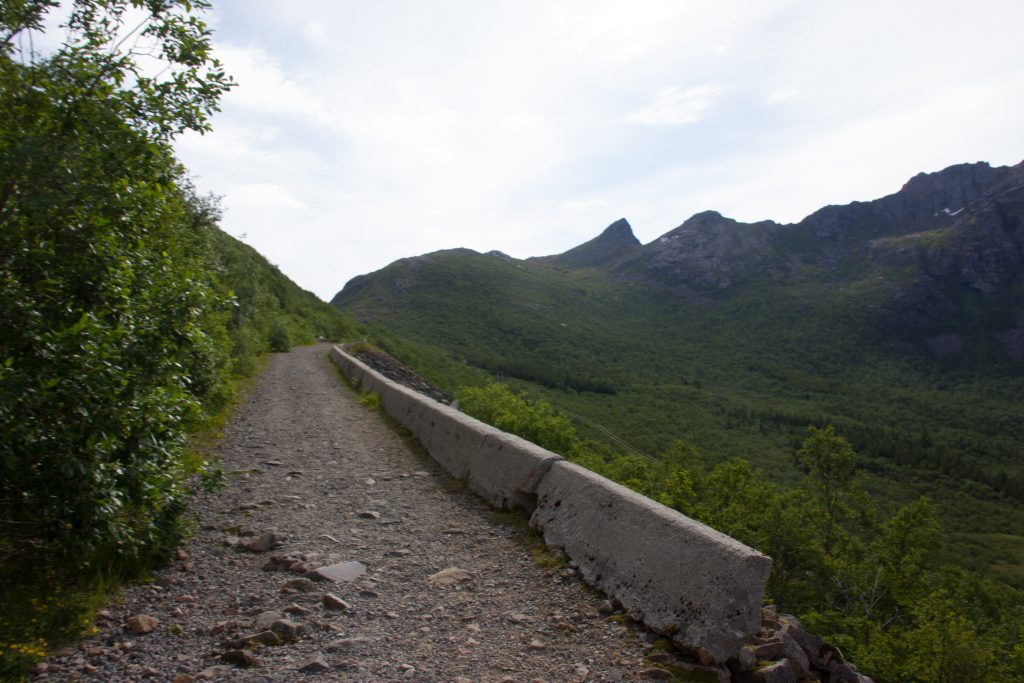
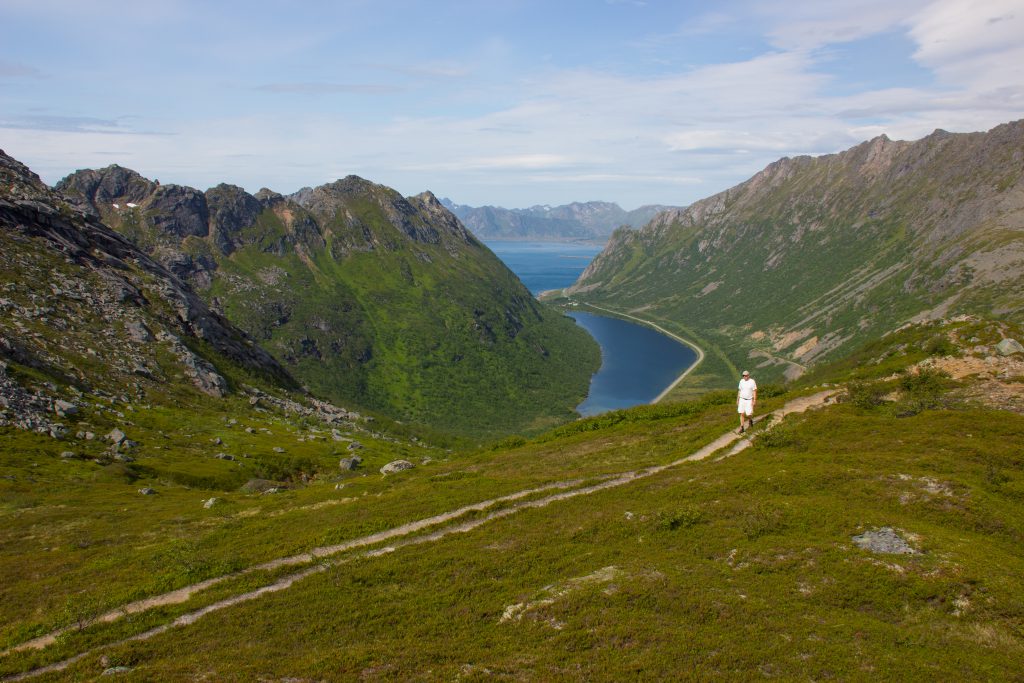
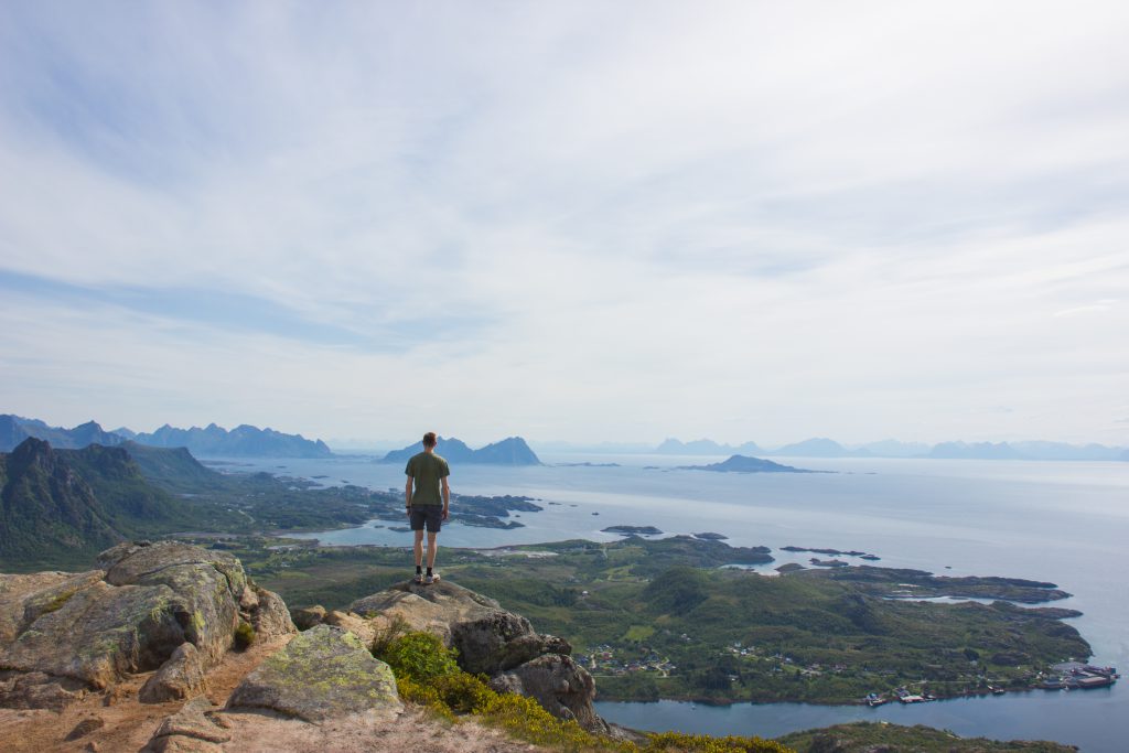
Festvågtinden is located right before Henningsvær and provides fantastic views over Vestfjord and Henningsvær. It will be possible to park in Festvåg, and right before the first bridge going to Henningsvær (see map). The trail begins inside Urvika, right after Festvåg on the way to Henningsvær. In Urvika you will The trail will split early on meaning you must follow the path to he right to get to Nipen and Festvågtinden. The trip to Festvågtinden is somewhat steep. If you want a slightly shorter trip but still with good views you can choose to go to Nipen or take a bath in Heiavatnet.

Posted by lofoten-hiking in Vågan, 0 comments

GLOMTIND

MOH: 419
Difficulty: 1 / 4
Duration: 1 hour one way


The trip to Glomtind starts by the old national road of Rørvikskaret, before the exit to Henningsvær. You can park at the entrance to the old road on both sides of the rock face to then join the old road. On the rock face there is a clear path in the southeasterly direction following the ridge to the top. The final section to the top is somewhat steep. This walk offers great views.

Posted by lofoten-hiking in Vågan, 0 comments

SVOLVÆRGEITA

MOH: 355
Difficulty: 3 / 4
Duration: 1 hour one way


OBS: To get to the very top of the rock formation Svolværgeita you have to climb. It’s recommended to go with a guide, unless you are an experienced climber.

Posted by lofoten-hiking in Vågan, 0 comments

FLØYA

MOH: 590
Difficulty: 3 / 4
Duration: 2 hours one way


The walk up to Svolværgeita, Djevelporten and Fløya is steep but offers great views after only a few minutes walk. The walk starts west of the cemetery, in the bend past the nursery. After about 200 meters the trail splits, where one can choose to go east toward Svolværgeita or continue north towards Djevelporten and Fløya. The trail to the foot of Svolvægeita is steep with loose gravel and sand, and can be somewhat challenging. The path to Djevelporten and Fløya continues up the valley, where you will first get to Djevelporten and then to Fløya. Some sections around Djevelporten and Fløya are steep and can be windy.

Posted by lofoten-hiking in Vågan, 0 comments

TJELDBERGTIND

MOH: 367
Difficulty: 1 / 4
Duration: 1 hour one way


Tjeldbergtind is a great and easy walk which gives good views of the Vestfjord, Svolvaer and Kabelvåg. Follow E10 west from Svolær for about 2 km, and turn off at the Esso petrol station. The walk starts at the second driveway on the left. The road will quickly change surface from asphalt to gravel. Follow the road, which eventually passes a firing range. In the last turn before the radio mast at the large rock on the west side, the trail to the summit of the mountain starts. Follow the path up the hillside. When you get to the back of the mountain, you can choose to go to the southern or northern peak. The southern top provides good views of the west bay. The northern peak is somewhat higher and is somewhat steeper to get up to, but is also a great vantage point.

Posted by lofoten-hiking in Vågan, 0 comments